Background history of the territories under the jurisdiction of the Gua Musang District Council
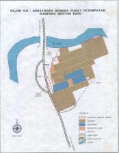
The Council was once known as the Ulu Kelantan District Council. A restructuring exercise took place from January 1st 1979 under Acts 171 and 176. With the Gazettement marked K.N.PU 32 on September 13th 1983, the Ulu Kelantan District Council was renamed the Gua Musang District Council.
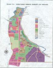
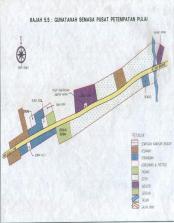
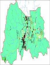
The Gua Musang District Council is the result of a merger between the Gua Musang City Board and Bertam Local Council on March 1st 1984 under Section 3(1), Local Council Act 1952. The Gua Musang District Council embarked on a jurisdictional operations expansion, from only 0.68 square miles (1.76 kilometer square) to 50 square miles (129.5 kilometer square). Among the areas included under the expansion process are Kampung Star, Kampung Pulai, Pasir Tumbuh, Chegar Bongor, Kampung Kerinting, Limau Kasturi, Batu Papan and Kampung Lepan Tupai (Lepan Jaya).
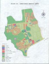
Following the Gazettement of the jurisdictional operations expansion of the Gua Musang District Council on September 15th 2005, its total geographical jurisdiction increased even further to 7,979.77 kilometer square with the inclusion of 3 more districts namely Galas, Bertam and Ciku.


